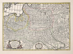
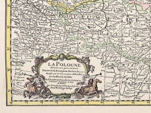
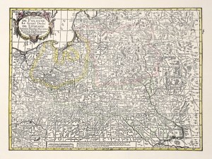
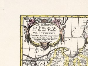
[Polska Centralna] „Prussian Dominions” Mapa Królestwa Prus, stan granic na 1795 r. Autor Thomson, Londyn 1815.
Miedzioryt na papierze czerpanym kolorowany w epoce. Wym. 54 x 64 cm. Mapa wykonana po upadku Napoleona pokazuje granice Królestwa Prus z 1795 r. Poza brakujacej tu Małopolski ukazano wszystkie ziemie należące obecnie do Polski. Mapa ta pokazuje,że obecna Polska (poza Brandenburgią i częścią Prus Wschodnich oraz Małopolską) składa się z 80% terenów dawnego Królestwa Prus. Dolny i górny margines w kilku miejscach ponadrywany, raz przechodzi na rysunek. Stan dobry.


![[Polska Centralna] „Prussian Dominions” Mapa Królestwa Prus](https://img1.one.bid/img/1642/507203_1q.jpg?1624180219)


![[MAP]. MAP OF POLAND 1 : 500 000. OLSZTYN. [Sheet ] 3. w-wa 1947....](https://img1.one.bid/img/6363/1859794_1x.jpg?1713045600)
![Automobile MAP of Poland 1 : 2,000,000 with list of gas stations by 'Karpaty' Nakł. Karpaty Sp. z o.o., Lviv [1933].](https://img1.one.bid/img/6145/1794990_1x.jpg?1709593200)
![Automobile MAP of Poland 1 : 2,000,000 with list of gas stations by 'Karpaty' Nakł. Karpaty Sp. z o.o., Lviv [1933].](https://img1.one.bid/img/6145/1794990_2x.jpg?1709593200)
