


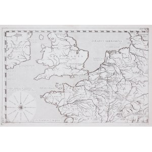
Map of the Carolingian Empire, published by J. Picart, Paris, 1630
4 sheets
copperplate, 35 x 48 cm, 35 x 49 cm, 32 x 49 cm, 32 x 50 cm (plate impressions)
very good condition


Recently viewed
Please log in to see lots list
Favourites
Please log in to see lots list